
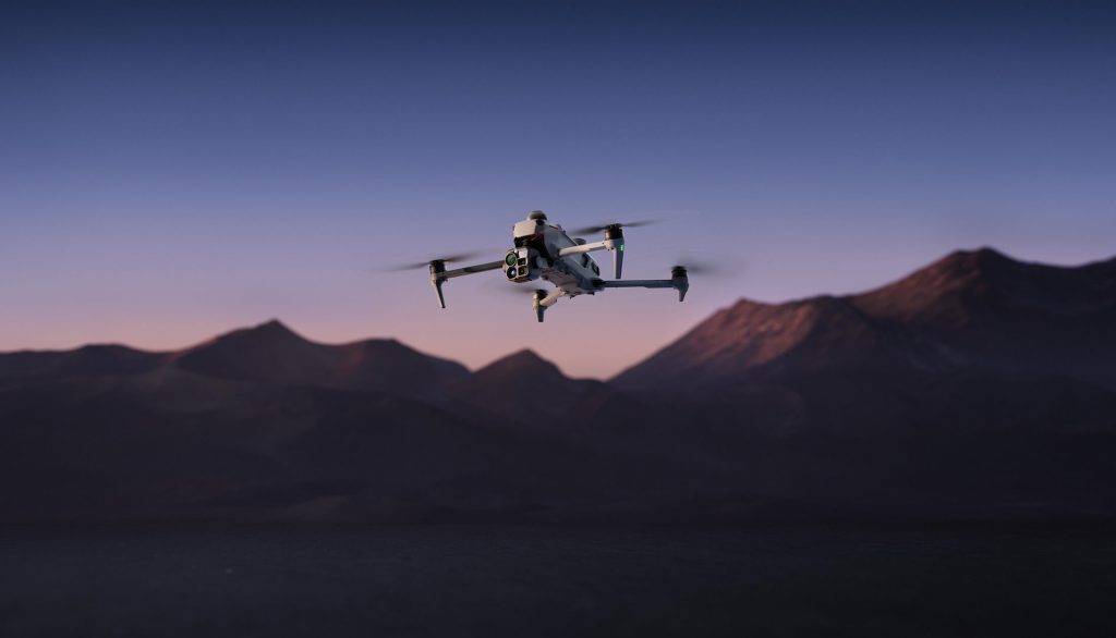
DJI has expanded its commercial drone portfolio with the release of the Matrice 5T, an enterprise quadcopter engineered for industrial inspection, public safety, and infrastructure mapping. The platform consolidates LiDAR, millimeter-wave (mmWave) radar, and multi-spectral imaging payloads into an IP55-rated compact airframe capable of up to 59 minutes of flight time.
Multi-Sensor Payload Architecture
The primary sensor suite integrates four optical and thermal sensors on a stabilized gimbal assembly:
- 1K Thermal Imager: Features a native resolution of 1280×1024 pixels, quadrupling standard 640×512 enterprise sensor arrays. An Ultra-High Resolution (UHR) mode synthesizes 2560×2048 thermal video at 30 frames per second for high-voltage grid and solar farm inspection.
- Wide-Angle Visual Camera: Utilizes a 1/0.98-inch CMOS sensor with an f/1.8 aperture and maximum ISO sensitivity of 1,600,000, enabling full-color imaging in lighting conditions down to 0.01 lux.
- Medium Telephoto Camera: A 50-megapixel sensor paired with a 3x optical zoom lens designed for structural defect detection and substation gauge monitoring at a 10-meter standoff distance.
- Long-Range Telephoto Camera: A 50-megapixel unit featuring an 11x optical and 176x hybrid zoom with an RYYB sensor array and monochrome night vision, resolving identification markers up to 400 meters away.
Sensing and Obstacle Avoidance Integration
The Matrice 5T is the first compact enterprise aircraft from DJI to combine top-mounted LiDAR, forward and lateral mmWave radar, and omnidirectional vision cameras. The top-mounted LiDAR detects thin overhead hazards, such as power transmission lines, at distances up to 32 meters in complete darkness. The system can lock onto cabling to guide automated lateral inspection runs.
The mmWave radar units penetrate atmospheric particulates, including fog, rain, and heavy dust, maintaining spatial awareness where optical sensors degrade. In GNSS-denied environments such as urban canyons or dense industrial complexes, the flight controller fuses real-time LiDAR, radar, and visual odometry data to generate local 3D environmental maps for positioning.
Propulsion, Range, and Connectivity
The airframe operates within a temperature window of -20°C to 50°C. Power is delivered by a high-capacity Matrice 5 series battery system, supporting up to 59 minutes of hover and transit endurance under standard load conditions.
Communications rely on the O4 Enterprise video transmission system, extending theoretical line-of-sight control range to 40 kilometers. Dual integrated cellular dongles manage automated fallback between radio-frequency and LTE/5G links in signal-obstructed terrain. The system also supports daisy-chained multi-drone relay configurations to maintain data links across mountain valleys and structural obstructions.
Edge Processing and Compliance
Onboard edge computing processes dual visible and thermal streams simultaneously to classify more than 20 object categories, including vehicles and marine vessels. The flight controller runs custom third-party detection models through an open API and DJI Pilot 2 plugins.
For regulatory compliance in controlled airspaces, the platform incorporates a hardware Flight Termination System (FTS) certified for European Union C6 operations. The FTS cuts motor power upon command or automatically when breaching pre-configured geocages. DJI stated that local data encryption complies with ISO 27001 and ISO 27701 standards, and US operators retain local data control with automated cloud sync disabled by default.